
Maricopa Point
Address:
Latitude & Longitude:
Saves:
7
Check-Ins:
13
Description:
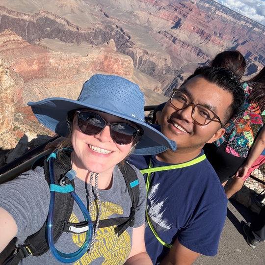
Maricopa Point peers out over the former Orphan Lode Mine claimed by Dan Hogan in 1891. The mine initially mined copper but switched to uranium ore in the 1950s. All mining ceased in 1967, then in 1987 Grand Canyon National Park acquired the property. Major environmental restoration began in 2008. Jutting out over the canyon on this narrow point is the edge of the South Rim. It extends northeast for nearly 100 feet before dropping away vertically. Maricopa's view contains over 180 degrees of Grand Canyon. Several miles of Tonto Trail are also visible as is the Colorado River if your eyes are sharp enough to see it. Maricopa Point's name comes from the Maricopa Indians who lived in south-central Arizona.
Website:
Tags:
Hikes • Scenic
Maricopa Point
Maricopa Point
